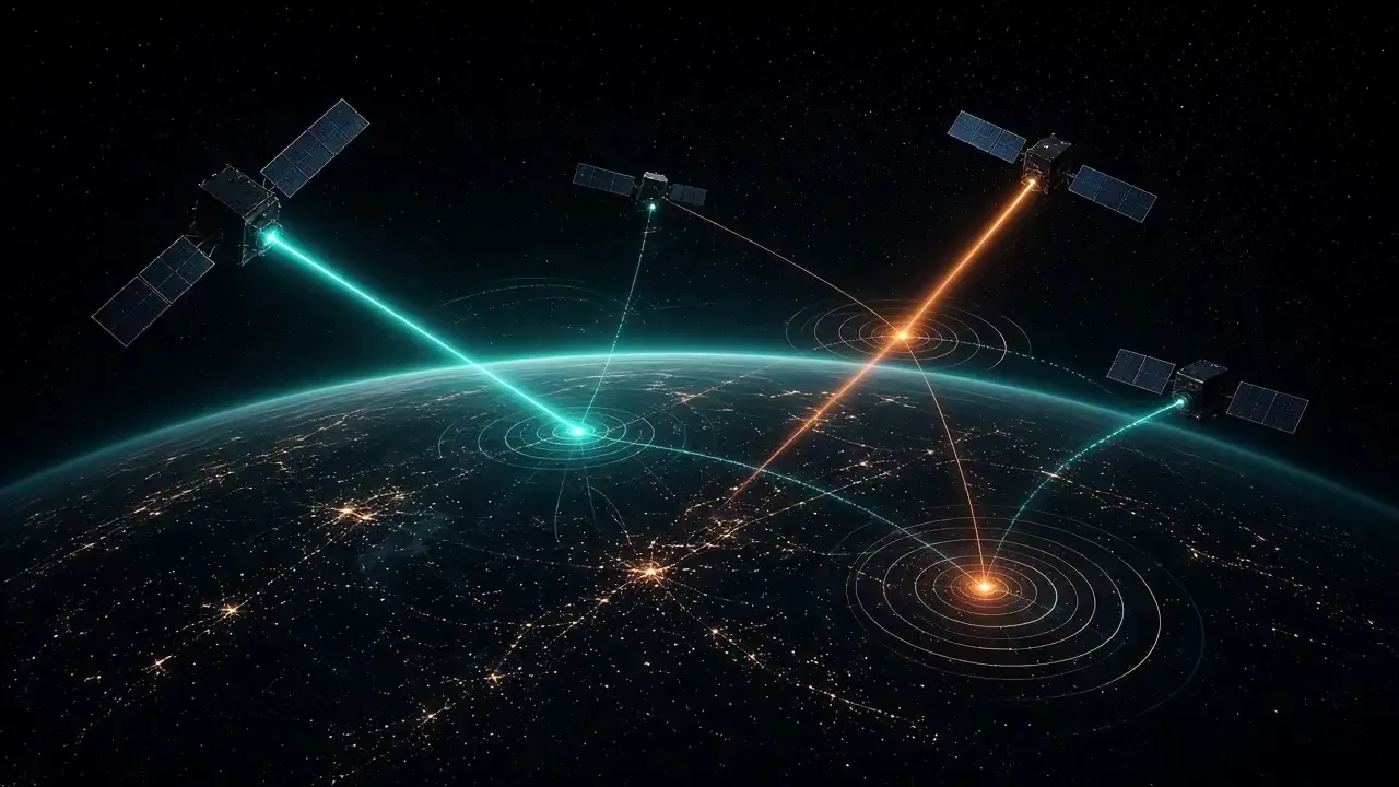
GSSAP (Geosynchronous Space Situational Awareness Program)
Country:  United StatesManufacturer: Northrop Grumman (formerly Orbital ATK)
Developed to overcome the resolution and atmospheric limitations of ground-based optical telescopes monitoring the critical 35,786 km Geostationary belt.
Owner-supplied artwork
Community
Identity5 fields
- Country
- United States
- Manufacturer
- Northrop Grumman (formerly Orbital ATK)
- Introduction
- 2014
- Status
- In service
- Category
- Space surveillance / inspector satellite
Mission7 fields
- Orbit
- Near-Geostationary Earth Orbit (Near-GEO drift orbits)
- Operator
- United States Space Force (Space Delta 2 — 1st Space Operations Squadron)
- Payload
- High-sensitivity visible/electro-optical space surveillance telescopes, star trackers, and precision relative navigation sensors
- Altitude & Inclination
- ~35,500–36,100 km (drifting slightly above and below the 35,786 km GEO belt) | ~0^\circ\text{–}2° inclination
- Launch Mass
- ~1,000–1,500 kg (estimated)
Data trust
- Reliability
- Unverified
- Sources
- Sources pending review
- Last reviewed

Historical profile
Developed to overcome the resolution and atmospheric limitations of ground-based optical telescopes monitoring the critical 35,786 km Geostationary belt. Operating just above or below the GEO arc, GSSAP spacecraft drift eastward or westward to conduct close-range visual characterization and anomaly resolution of high-value military communications and early-warning satellites.
Actively patrols the geostationary belt to monitor foreign RPO activity, characterize adversarial satellites, and assess satellite health/status for U.S. Space Command's Unified Data Library.
Variants and blocks: GSSAP Flight 1 (USA-253, USA-254 — 2014), Flight 2 (USA-270, USA-271 — 2016), Flight 3 (USA-324, USA-325 — 2022).