Wideband Global SATCOM (WGS)
Country:  United StatesManufacturer: Boeing
Wideband Global SATCOM (WGS) is a high-capacity United States Space Force satellite communications system used in partnership with the U.S. Department of Defense, the Canadian Department of National Defence and the Australian Department of Defence. Boeing Satellite Development Center is the primary contractor, building the satellites around the Boeing 702HP bus. The first launch, WGS-1, took place on 11 October 2007.
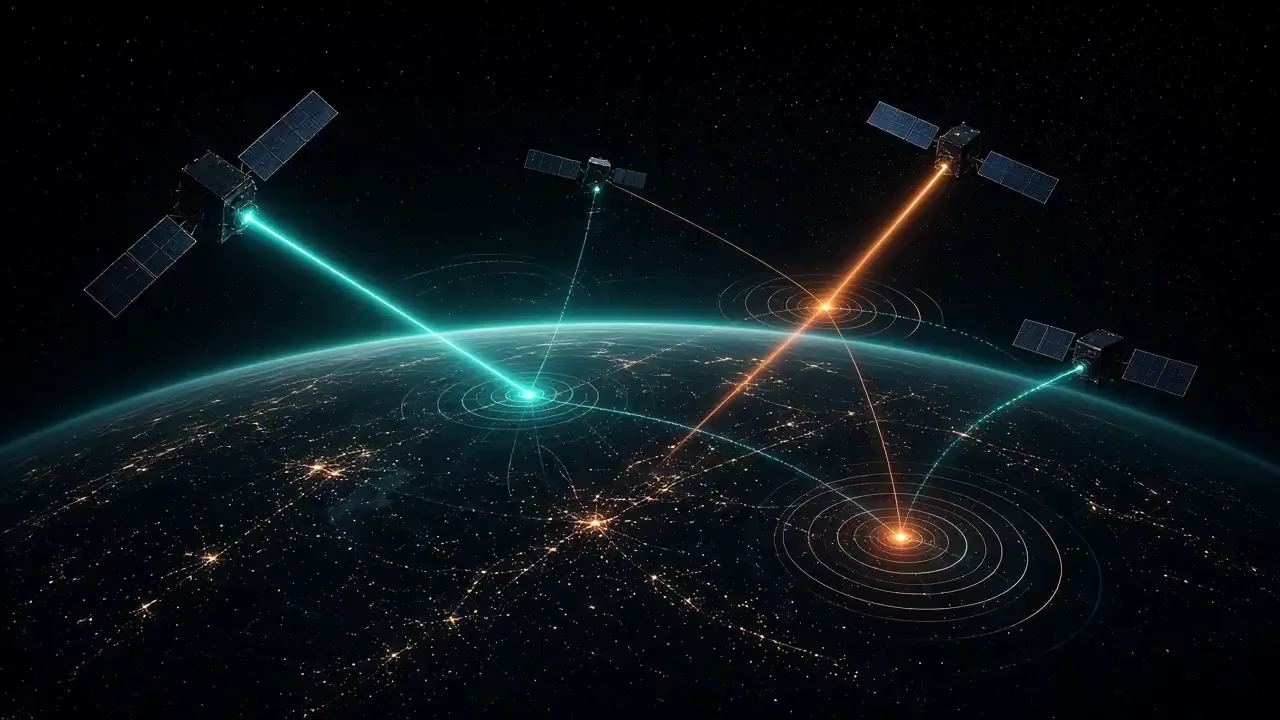
AI-generated illustration based on a photo by Source: WGS Program Office., Public domain, via Wikimedia Commons
Wikimedia Commons referenceCommunity
Identity5 fields
- Country
- United States
- Manufacturer
- Boeing Satellite Development Center
- Introduction
- 2007
- Status
- In service
- Category
- Communications satellite
Mission9 fields
- Orbit
- Geostationary Earth Orbit (GEO)
- Operator
- United States Space Force
- Payload
- Wideband military satellite communications
- Altitude & Inclination
- 35,786 km circular | ~0° inclination (distributed globally around the equator)
- Launch Mass
- ~5,987 kg (fueled)
Data trust
- Reliability
- Partially verified
- Sources
- Wideband Global SATCOM (WGS)Wikipedia · Accessed
- Last reviewed

Historical profile
WGS-1 was launched by United Launch Alliance on 11 October 2007 on an Atlas V 421. Later satellites, including contracted follow-on vehicles, remain part of the same programme family.
This sheet does not assign an orbit class, a live constellation count, or communications-capacity figures.
Developed to replace the aging Defense Satellite Communications System (DSCS) and Global Broadcast Service (GBS), providing high-throughput tactical and strategic connectivity for deployed forces, UAV full-motion video (FMV) relays, naval task forces, and airborne command posts.
Operated as a multinational defense asset with co-funding and bandwidth sharing across the United States, Australia, Canada, Denmark, Luxembourg, the Netherlands, and New Zealand; provides primary wideband C4ISR connectivity across all global combatant commands.
Variants and blocks: Block I (WGS-1 to WGS-3), Block II (WGS-4 to WGS-6, adding airborne ISR high-data-rate bypass), Block II Follow-On (WGS-7 to WGS-10, digital channelizer upgrade), WGS-11 / WGS-12 (next-generation metallic phased-array architecture with 2\times bandwidth and anti-jam resilience).