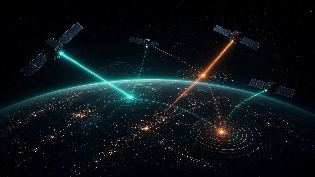
SBIRS-GEO / Next-Gen OPIR (Follow-On Architecture)
Country:  United StatesManufacturers: Lockheed Martin (GEO bus), Northrop Grumman & Raytheon (co-manufacturer, infrared sensors)
Commissioned by the U.S.
Generic satellite illustration — not a depiction of the actual system. CLASSIFIED is a visual label, not an official classification statement.
Community
Identity5 fields
- Country
- United States
- Manufacturer
- Lockheed Martin Space (GEO bus) / Northrop Grumman & Raytheon (infrared sensors)
- Introduction
- —
- Status
- In service
- Category
- Early-warning satellite
Mission8 fields
- Orbit
- Geostationary Earth Orbit (GEO) & Highly Elliptical Orbit (HEO / Polar)
- Operator
- United States Space Force (Space Delta 4)
- Payload
- Advanced agile-staring infrared focal plane arrays with enhanced sensitivity, hardened cryogenic cooling architectures, and advanced onboard processing algorithms to defeat fast-burn and hypersonic glide vehicle (HGV) infrared suppression
- Altitude & Inclination
- 35,786 km circular (GEO) | Molniya HEO orbit for polar coverage
- Launch Mass
- ~5,000–6,000 kg (GEO variant utilizing Lockheed Martin's modernized A2100 Next-Gen bus)
Data trust
- Reliability
- Unverified
- Sources
- Sources pending review
- Last reviewed

Historical profile
Commissioned by the U.S. Space Force as an urgent acquisition response to emerging global hypersonic glide vehicle (HGV) and maneuvering ballistic missile threats from near-peer adversaries (China and Russia). Traditional infrared warning systems struggle to track low-altitude, high-speed hypersonic plumes; Next-Gen OPIR introduces vastly superior sensor dwell time, higher pixel resolution, and resilient architecture to maintain continuous custody of maneuvering strategic threats from boost phase through terminal descent.
Deployed to replace and augment the legacy SBIRS constellation as the primary space-based sensor layer feeding the U.S. missile defense command-and-control network.
Variants and blocks: Next-Gen OPIR GEO (NGG), Next-Gen OPIR Polar (NGP), followed by future disaggregated proliferated LEO (pLEO) tracking layers.