Gaofen-4 (Geostationary High-Resolution Optical Surveillance)
Country:  ChinaManufacturer: China Academy of Space Technology (CAST)
Launched under China's High-Resolution Earth Observation System (Gaofen) program, Gaofen-4 was the world's highest-resolution geostationary optical remote sensing satellite at the time of its debut.
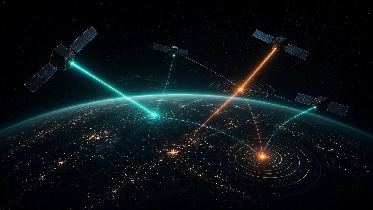
Generic satellite illustration — not a depiction of the actual system. CLASSIFIED is a visual label, not an official classification statement.
Community
Identity5 fields
- Country
- China
- Manufacturer
- China Academy of Space Technology (CAST)
- Introduction
- 2015
- Status
- In service
- Category
- Reconnaissance satellite
Mission9 fields
- Orbit
- Geostationary Earth Orbit (GEO)
- Operator
- China National Space Administration (CNSA) / PLA Aerospace Force
- Payload
- Large-aperture staring CMOS visible/near-infrared (VNIR) and mid-wave infrared (MWIR) optical telescope mounted on a high-precision pointing platform
- Altitude & Inclination
- 35,786 km circular | ~0.1° inclination (stationed at 105.6°E over the Indo-Pacific)
- Launch Mass
- ~4,600 kg
Data trust
- Reliability
- Unverified
- Sources
- Sources pending review
- Last reviewed

Historical profile
Launched under China's High-Resolution Earth Observation System (Gaofen) program, Gaofen-4 was the world's highest-resolution geostationary optical remote sensing satellite at the time of its debut. Unlike sun-synchronous LEO spy satellites that pass over a target once or twice daily, Gaofen-4 stares continuously at the Western Pacific, South China Sea, and Indian Ocean in real time.
Provides persistent real-time cueing of large naval formations (such as aircraft carrier strike groups and amphibious task forces) and ballistic/hypersonic missile plume tracking from geostationary orbit, cueing higher-resolution LEO Yaogan optical and SAR satellites for precise terminal targeting.
Variants and blocks: Gaofen-4 (2015 baseline), followed by higher-resolution GEO optical follow-ons such as Gaofen-13 (launched 2020 and 2023, improving GEO spatial resolution to ~15 m).